
Catedral (district)
Catedral is a district of the San José canton, in the San José province of Costa Rica, it is one of the four administrative units that form San José downtown properly.[1][2]
Toponymy
The district receives its name because of the Cathedral and the catholicArchdiocese of San José, the only archdiocese in the country which lies between its boundaries, along with several other government buildings.
Geography
Catedral has an area of 2.35 km2[3] and an elevation of 1,161 metres.[1]
Catedral is on the center-east of the canton, and has a small portion of boundary with Montes de Oca Canton at its eastern part. The division also borders (clockwise) Zapote district to the east, San Sebastián district to the south, Hospital and Merced districts to the west, and El Carmen district to the north.[4]
Locations
This district comprises several "barrios" or neighbourhoods, like Bellavista, California (part of it), Carlos María Jiménez, Dolorosa (part of it), González Lahman, Güell, La Cruz, Lomas de Ocloro, Luján, Miflor, Naciones Unidas, Pacífico (part of it), San Cayetano (part of it), Soledad, Tabacalera, Vasconia. Some of the buildings between its limits are:
- National Theatre of Costa Rica. The country's most important theater and cultural reference.
- Caja Costarricense del Seguro Social. Government office in charge of medical and social security.
- Cathedral of San José. Main church of the city and home of the archbishop.
- Tribunals of Justice. In charge of the judiciary power on the country.
Demographics
| Census | Pop. | ±% p.a. |
|---|---|---|
| 1883 | 2,576 | — |
| 1892 | 3,853 | +4.58% |
| 1927 | 15,001 | +3.96% |
| 1950 | 25,240 | +2.29% |
| 1963 | 31,516 | +1.72% |
| 1973 | 28,590 | −0.97% |
| 1984 | 21,574 | −2.53% |
| 2000 | 15,341 | −2.11% |
| 2011 | 12,936 | −1.54% |
| 2022 | 14,355 | +0.95% |
| Source: Instituto Nacional de Estadística y Censos[5]Centro Centroamericano de Población[6] | ||
بلغ عدد سكان كاتدرال 12,936 نسمة وفقًا لتعداد عام 2011. [ 7 ] وتُعد الكثافة السكانية فيها الأعلى بين المناطق الأربع في وسط المدينة.
مواصلات
النقل البري
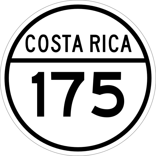
تغطي الطرق التالية المنطقة:






النقل بالسكك الحديدية
يمر خط إنترأوربانو الذي تديره شركة إنكوفر عبر هذه المنطقة.
روابط خارجية
- بلدية سان خوسيه. Distrito Catedral – موقع ويب سان خوسيه مايور، يتضمن خريطة للمنطقة والمعلومات ذات الصلة.
مراجع
- 1 2 "إعلان رسمي للتأثيرات الإدارية، موافقة القسم الإداري الإقليمي للجمهورية رقم 41548-MGP" . Sistema Costarricense de Información Jurídica (بالإسبانية). 19 مارس 2019 . تم الاسترجاع في 26 سبتمبر 2020 .
- ^ División Territorial Administrativa de la República de Costa Rica (PDF) (بالإسبانية). الافتتاحية الرقمية دي لا إمبرينتا ناسيونال. 8 مارس 2017. ردمك 978-9977-58-477-5.
- ↑ "منطقة على بعد كيلومترات مربعة، المقاطعة والكانتون والمنطقة الإدارية" . المعهد الوطني للإحصاء والتعداد (بالإسبانية). مؤرشفة من الأصلي في 24 أكتوبر 2020 . تم الاسترجاع في 26 سبتمبر 2020 .
- ↑ خريطة كانتونية للتعداد السكاني لعام 1984 مؤرشفة في 21-04-2015 على موقع Wayback Machine ، منشورة من قبل المعهد الوطني للإحصاء والتعداد (INEC) ومحدثة من قبل مركز سكان أمريكا الوسطى (CCP).
- ^ “المعهد الوطني للإحصاء والتعداد” (بالإسبانية).
- ↑ مركز أمريكا الوسطى للسكان في جامعة كوستاريكا. "Sistema de Consulta a Bases de Datos Estadísticas" (بالإسبانية).
- ^ "Censo. 2011. Población Total por zona y sexo, según provincia, cantón y distrito" . المعهد الوطني للإحصاء والتعداد (بالإسبانية) . تم الاسترجاع في 26 سبتمبر 2020 .
- مقاطعات مقاطعة سان خوسيه
- المناطق المأهولة بالسكان في مقاطعة سان خوسيه