
Restigouche County, New Brunswick
Restigouche County (French pronunciation:[ʁɛstiɡuʃ]; 2021 population 30,700) is located in north-central New Brunswick, Canada.[2][3] The county is named for the Restigouche River which flows through the county and is famous for its salmon pools, which have attracted wealthy American and Canadian tourists to the region's summer colonies for decades. Forestry dominates the local economy.
Census subdivisions
Communities
There are nine municipalities within Restigouche County (listed by 2016 population):[2][4]
| Official name | Designation | Area km2 | Pop 2016 | Parish |
|---|---|---|---|---|
| Campbellton | City | 18.58 | 6,883 | Addington |
| Atholville | Village | 119.60 | 3,570 | Addington |
| Dalhousie | Town | 15.22 | 3,126 | Dalhousie |
| Saint-Quentin | Town | 4.24 | 2,194 | Saint-Quentin |
| Kedgwick | Rural community | 658.08 | 1,979 | Grimmer |
| Eel River Dundee | Village | 65.48 | 1,953 | Dalhousie |
| Balmoral | Village | 43.39 | 1,674 | Balmoral |
| Charlo | Village | 31.30 | 1,310 | Colborne |
| Tide Head | Village | 19.43 | 938 | Addington |
First Nations
There are two First Nations reservations in Restigouche County (listed by 2016 population):[2][3]
| Official name | Designation | Area km2 | Population | Parish |
|---|---|---|---|---|
| Eel River 3 | Reservation | 1.46 | 329 | Dalhousie |
| Indian Ranch | Reservation | 0.58 | 89 | Dalhousie |
Parishes
The county is subdivided into eight parishes. (Listed by 2016 population, excluding municipalities):[2][3]
- note: Grimmer Parish has been dissolved and amalgamated as part of the Rural Community of Kedgwick, effective July 2012.[5]
Demographics
| Year | Pop. | ±% |
|---|---|---|
| 1991 | 39,248 | — |
| 1996 | 38,701 | −1.4% |
| 2001 | 36,134 | −6.6% |
| 2006 | 33,834 | −6.4% |
| 2011 | 32,594 | −3.7% |
| 2016 | 30,955 | −5.0% |
| 2021 | 30,700 | −0.8% |
| [6][7][3][1] | ||
As a census division in the 2021 Census of Population conducted by Statistics Canada, Restigouche County had a population of 30,700 living in 14,165 of its 15,288 total private dwellings, a change of −0.8% from its 2016 population of 30,955. With a land area of 8,566.82 km2 (3,307.67 sq mi), it had a population density of 3.6/km2 (9.3/sq mi) in 2021.[1]
| 2021 | 2016 | 2011 | |
|---|---|---|---|
| Population | 30,700 (-0.8% from 2016) | 30,955 (-5.0% from 2011) | 32,594 (-3.7% from 2006) |
| Land area | 8,566.82 km2 (3,307.67 sq mi) | 8,580.00 km2 (3,312.76 sq mi) | 8,579.66 km2 (3,312.63 sq mi) |
| Population density | 3.6/km2 (9.3/sq mi) | 3.6/km2 (9.3/sq mi) | 3.8/km2 (9.8/sq mi) |
| Median age | 53.6 (M: 52.8, F: 54.4) | 51.7 (M: 51.2, F: 52.1) | 48.7 (M: 48.2, F: 49.2) |
| Private dwellings | 14,165 (total) | 15,259 (total) | 15,468 (total) |
| Median household income | $49,553 | $43,065 |
Language
| Canada Census Mother Tongue - Restigouche County, New Brunswick[6] | ||||||||||||||||||
|---|---|---|---|---|---|---|---|---|---|---|---|---|---|---|---|---|---|---|
| Census | Total | French | English | French & English | Other | |||||||||||||
| Year | Responses | Count | Trend | Pop % | Count | Trend | Pop % | Count | Trend | Pop % | Count | Trend | Pop % | |||||
2016 | 30,155 | 19,415 |  3.6% 3.6% | 64.38% | 9,930 | 7.11% | 32.93% | 555 | 0.89% | 1.84% | 255 |  6.25% 6.25% | 0.85% | |||||
2011 | 31,640 | 20,150 | 4.2% | 63.68% | 10,690 | 4.3% | 33.79% | 560 | 31.8% | 1.77% | 240 | 42.2% | 0.76% | |||||
2006 | 33,045 | 21,030 | 5.7% | 63.64% | 11,175 | 9.2% | 33.82% | 425 | 21.3% | 1.29% | 415 | 62.7% | 1.25% | |||||
2001 | 35,405 | 22,300 | 5.2% | 62.98% | 12,310 | 10.3% | 34.77% | 540 | 21.2% | 1.53% | 255 | 21.4% | 0.72% | |||||
1996 | 38,145 | 23,530 | n/a | 61.68% | 13,720 | n/a | 35.97% | 685 | n/a | 1.80% | 210 | n/a | 0.55% | |||||
Access routes
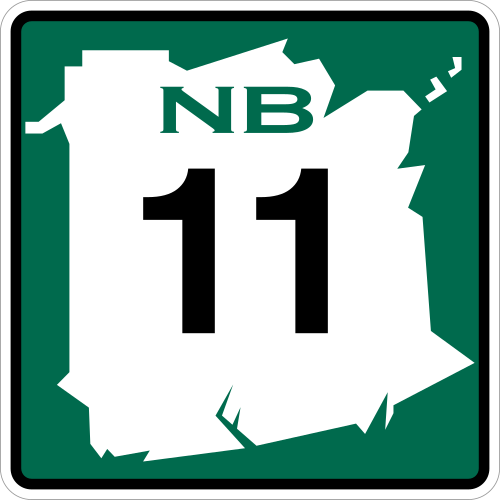
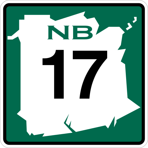
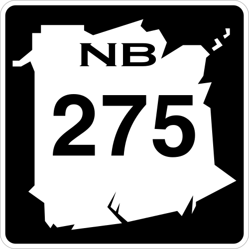
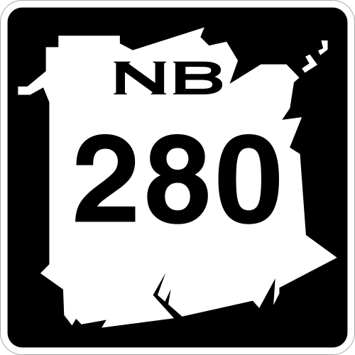
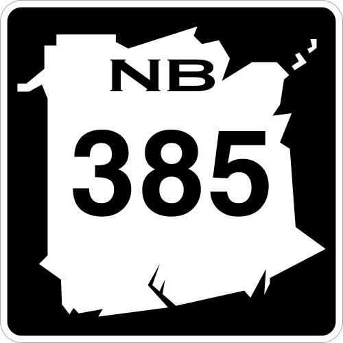
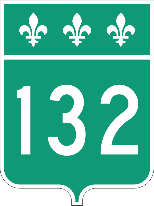
Highways and numbered routes that run through the county, including external routes that start or finish at the county limits:[10]
Protected areas and attractions
Notable people
See also
References
- 1234"Population and dwelling counts: Canada and census divisions". Statistics Canada. February 9, 2022. Retrieved April 3, 2022.
- 1234"Restigouche County". New Brunswick Provincial Archives.
- 1234"Census Profile, 2016 Census - Restigouche County [Census Division], New Brunswick and New Brunswick [Province]". February 8, 2017.
- 12"2016 Community Profiles". 2016 Canadian census. Statistics Canada. August 12, 2021. Retrieved September 28, 2019.
- ↑"Rural Community of Kedgwick Regulation - Municipalities Act". Attorney General. Province of New Brunswick. December 15, 2015. Retrieved January 5, 2016.
- 12Statistics Canada: 1996, 2001, 2006, 2011 census
- ↑2011 Statistics Canada Census Profile: Restigouche County, New Brunswick
- ↑"2021 Community Profiles". 2021 Canadian census. Statistics Canada. February 4, 2022. Retrieved April 27, 2022.
- ↑"2011 Community Profiles". 2011 Canadian census. Statistics Canada. March 21, 2019. Retrieved March 21, 2014.
- ↑Atlantic Canada Back Road Atlas ISBN 978-1-55368-618-7
External links
47°43′33.9″N67°5′18.6″W / 47.726083°N 67.088500°W / 47.726083; -67.088500
- 1837 establishments in New Brunswick
- Restigouche County, New Brunswick
- Counties of New Brunswick